


Results 131 to 140 of 254
-
10th January 2020, 06:18 PM #131

-
10th January 2020, 09:39 PM #132


This Map doesn't have ActiveRouting SQL File, as it's NOT a PRO version
These Have instead:

-
The Following 2 Users Say Thank You to FireFox58 For This Useful Post:
- [ Click To Expand ]
-
-
10th January 2020, 09:42 PM #133
You are referring to Topomap Benelux (FID 1725), this is not a Topo Pro and therefore has no SQL file.
-
The Following 1 Users Say Thank You to bommelb For This Useful Post:
- [ Click To Expand ]
-
toox (10th January 2020)
-
12th January 2020, 03:20 PM #134

Hello all,
Is there someone have a recent Norway Topo map please ?
Kind regards
Pilou
-
The Following 1 Users Say Thank You to P i l o u For This Useful Post:
- [ Click To Expand ]
-
toox (12th January 2020)
-
12th January 2020, 06:41 PM #135
Yo estoy buscando mapas de Europa con descarga directa. Todos los que encuentro, son a través de Torrent.
I am looking for maps of Europe with direct download. Everyone I meet is through Torrent.
Please use English or aLast edited by Garmin_Nuvi; 13th January 2020 at 02:24 AM.
-
13th January 2020, 02:30 AM #136
Garmin TOPO Norway Experience v3 PROPrepare for your next great outdoor adventure in Norway with this highly detailed topographic mapping product. With fully routable maps and Garmin ActiveRouting¹, it contains versatile route planning for walking and cycling.
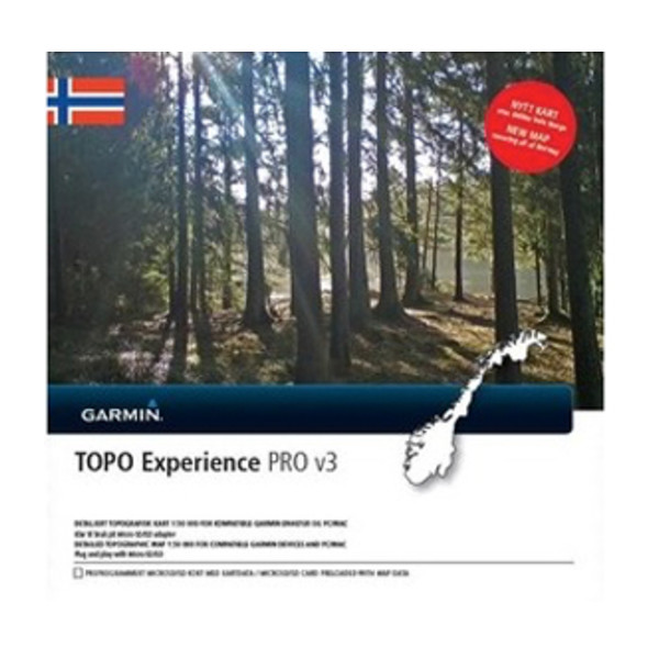

- Integrates topographic vector map data from Statens Kartverk at a scale of 1:50,000 on compatible devices
- Displays content from the Norwegian Trekking Association like huts and trails
- Shows customized activity routes using ActiveRouting, showing routable roads and paths for walking and cycling tours
- Offers thousands of different destination choices with searchable points of interest/names
- Provides 3-D view and elevation shading on compatible devices so you can estimate terrain difficulty
Full ActiveRouting capability only with selected devices; depends on Garmin GPS device and software version.
Product Code: 010-D1443-00
FID: 3800
GMapTool Info:
TOPO Norway Experience v3 PRO Unlocked IMG + SQL
TOPO Norway Experience PRO v3.rar (974.25 MB) PWD: FireFox58
ActiveRouting SQL File, 010-D1443-00.db for use in Compatible Devices (folder \Garmin\SQL in internal memory, or on microSD)
ActiveRouting functionality supported by Montana®, Monterra™, Edge® 8x0/1000, GPSMAP® 62/64/66/86, Oregon® serie 6xx/x50 and 7xxLast edited by FireFox58; 20th February 2021 at 06:45 PM. Reason: Update Download Link
-
The Following 6 Users Say Thank You to FireFox58 For This Useful Post:
- [ Click To Expand ]
-
-
13th January 2020, 02:35 AM #137
Garmin TOPO Explorer Svalbard Islands


Explore the Svalbard islands with these detailed topographic maps, including glaciers, moraines, coastlines and lakes. You'll also have coverage of national park borders, conservation areas and nature reserves.
Features:
Provides 1:100,000 scale aerial photography and overview maps based on 1:1 million map data from the Norwegian Polar Institute
Contains an extensive points of interest database with road and trail data
Displays topographic features, including land use, glaciers, moraines and built up areas, and hydrographic features, including coastlines, lakes and rivers
Shows national park borders, conservation areas and nature reserves
Displays digital elevation model (DEM)
Coverage: Features digital topographic maps for common and allowed travel areas in Svalbard.
FID: 1491
GMapTool Info:
Original Locked IMG
Unlock Map with Tool:
TOPO Explorer Svalbard.rar (49.469 MB)
PWD: FireFox58
-
The Following 3 Users Say Thank You to FireFox58 For This Useful Post:
- [ Click To Expand ]
-
dibblah (23rd December 2020), rahvakunstnik (15th August 2021), toox (13th January 2020)
-
13th January 2020, 05:09 PM #138
thank you ��
no possibility of having the Topo norway Premium v3?
someone have it ?
-
13th January 2020, 11:37 PM #139
-
The Following 1 Users Say Thank You to FireFox58 For This Useful Post:
- [ Click To Expand ]
-
toox (14th January 2020)
-
14th January 2020, 01:34 AM #140
I never has seen Premium v3 (also 10 maps total) on the internet.
You prefer Premium and not the Experience map?.
Earlier a found an explanation of these maps:
Some maps from openstreetmap could be also a good alternative but it is depending of the use.
-
The Following 1 Users Say Thank You to bommelb For This Useful Post:
- [ Click To Expand ]
-
toox (14th January 2020)


 Register To Reply
Advertisements

Suggested Articles:


 Staff Online
Garmin Cyclops Safety Cameras -...
Garmin Cyclops Sept 20 AustraliaNewZealand...